


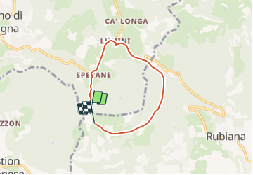

3,7 km | 4,4 km-effort

Tous les sentiers balisés d’Europe GUIDE+


Kostenlosegpshiking-Anwendung
 SityTrail
IGN / Geografische Institute
SityTrail World
Die Welt öffnet sich für Sie
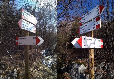
Tour Zu Fuß von 5 km verfügbar auf Venetien, Verona, Caprino Veronese. Diese Tour wird von SityTrail - itinéraires balisés pédestres vorgeschlagen.
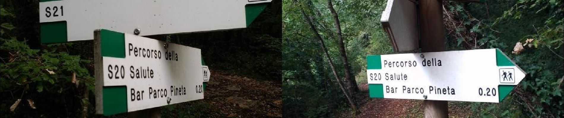
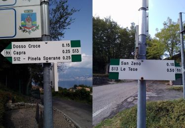
Trail created by Rete Sentieristica San Zeno di Montagna.


Zu Fuß
Zu Fuß
Zu Fuß
Zu Fuß
Zu Fuß
Zu Fuß
Zu Fuß
Zu Fuß
Zu Fuß